Anthropogenic Emissions
SEEDS offers new up-to-date anthropogenic emissions estimates of nitrogen dioxide (NOx), ammonia (NH₃) and biomass burning emissions.

SEEDS uses inverse modelling to produce up-to-date high-resolution estimates of NOx, NH₃ and biomass burning emissions.
SEEDS satellite-derived anthropogenic emission products:
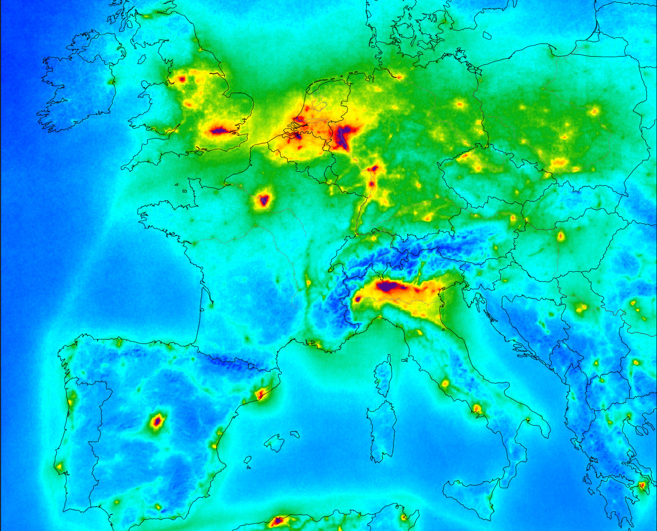
2019-2022 Monthly anthropogenic NOx emissions for Europe at up to 5 km resolution
2019-2022 Monthly NH₃ emissions for Europe with 20 km resolution
2018-2022 Daily biomass burning emissions at up to 10 km resolution

SEEDS produces anthropogenic emissions of nitrogen dioxide (NO₂) and ammonia (NH₃) as well as biomass burning emissions through formaldehyde (HCHO). These emissions make use of satellite data through inverse modelling (top-down approaches) thus enabling the provision of improved temporal emission products complementing the existing emissions currently available in CAMS.
- NOx emissions are estimated using Sentinel-5P observations and the inverse model DECSO (Daily Emission estimation Constrained by Satellite Observations). These are up-to-date emissions with up to 5km spatial resolution.
- NH₃ emissions are derived from IASI and Cross-track Infrared Sounder (CrIS) satellite observations and the inverse model DECSO, providing up-to-date emissions with 20km spatial resolution Biomass Burning emissions are derived from Sentinel-5P formaldehyde vertical abundances and the MAGRITTE regional chemistry-transport model and its inverse modules to provide top-down estimates with a resolution of up to 10 km.

